Baseline Biodiversity - Habitat Characterization of Al Qalqali MPA via ROV imagery and eDNA Approaches
This project integrates ROV surveys, eDNA metabarcoding, and spatial analysis to map habitats, establish a biodiversity baseline, and inform evidence-based marine protected area design and management.
Short Project Description / Summary
This project integrates ROV surveys, eDNA metabarcoding, and spatial analysis to map habitats, establish a biodiversity baseline, and inform evidence-based marine protected area design and management.
Longer Project Description
Marine ecosystems are undergoing rapid degradation under the combined pressures of climate change, habitat loss, and increasing anthropogenic disturbance, creating an urgent need for scalable, high-resolution monitoring approaches. In the nearshore waters of Khor Fakkan (Gulf of Oman), a mosaic of sandy flats, seagrass patches, rocky reefs, and coral gardens remains insufficiently characterized, limiting evidence-based management and Marine Protected Area (MPA) design. This project addresses this gap by developing an integrated, AI-accelerated framework for habitat characterization and biodiversity assessment, combining expert-informed benchmarks, multimodal machine learning systems, Remotely Operated Vehicle (ROV) imagery, and environmental DNA (eDNA) metabarcoding.
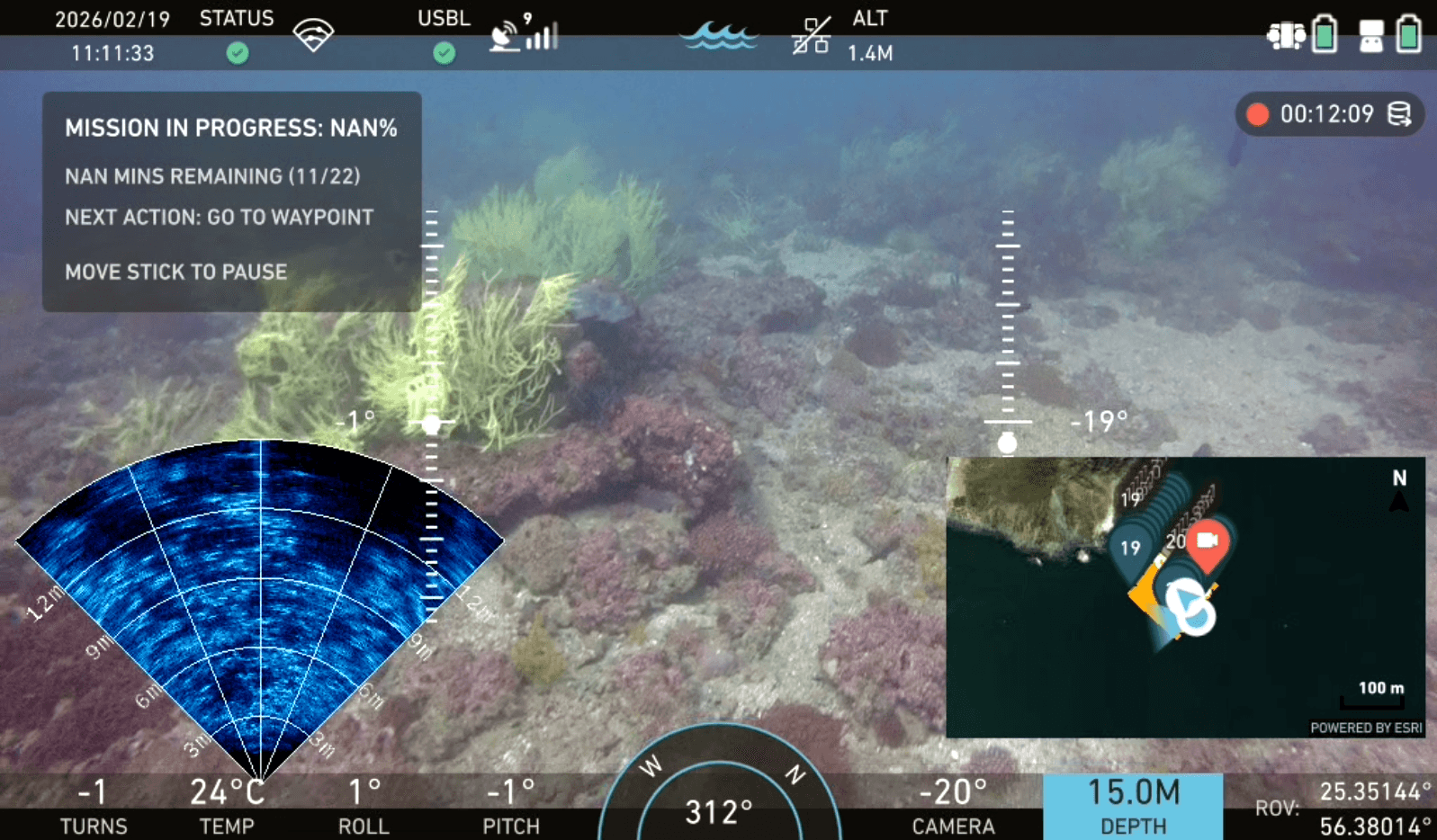
Using standardized ROV-based visual transects alongside paired seawater sampling across ~10–20 stations along a ~5 km coastal gradient, the study generates high-resolution, georeferenced data on benthic habitats and associated communities. ROV imagery enables mapping of habitat structure and conspicuous taxa, while multilocus eDNA (12S, 23S, and coral-specific markers) captures cryptic, rare, and nocturnal biodiversity. Building on this multimodal dataset, the project evaluates how accurately current state-of-the-art AI models can characterize habitats compared to human expert annotations, quantifying performance gaps, inter-model variability, and the influence of habitat classification complexity.
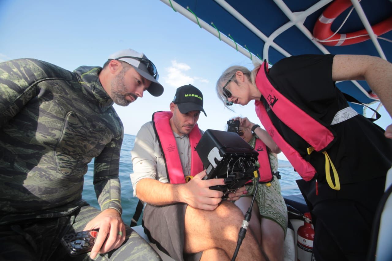
A key objective is to determine the optimal annotation effort required to achieve robust and ecologically meaningful habitat representations, thereby defining cost-effective and scalable monitoring strategies. The integration of AI-assisted video analysis with molecular detection further enables a direct comparison between visual and eDNA-based biodiversity assessments, identifying complementarities and methodological limitations. Outputs include a comprehensive species inventory, a georeferenced habitat–biodiversity atlas highlighting conservation hotspots, quantitative benchmarks for AI model performance, and optimized workflows for long-term monitoring. By bridging ecological expertise with automated analysis, this project establishes a transferable framework for rapid, standardized, and scalable marine habitat characterization, supporting adaptive management, MPA planning, and the advancement of next-generation marine monitoring systems.